
Here we look at the “other” Alps, the Lyngenalps in the north of Norway! The Lyngenalps are a 90 km long mountain range rising 1’800 m high out of the Lyngenfjord on their east side and the Ullstfjord on their west side.
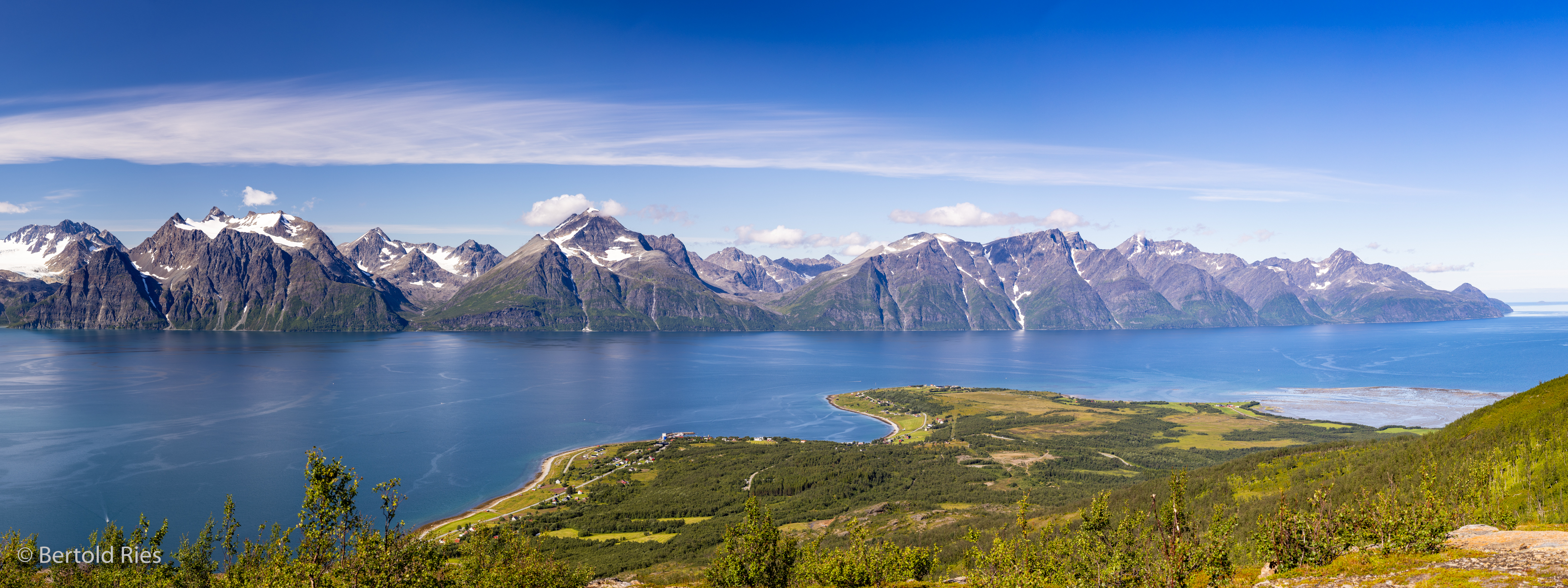
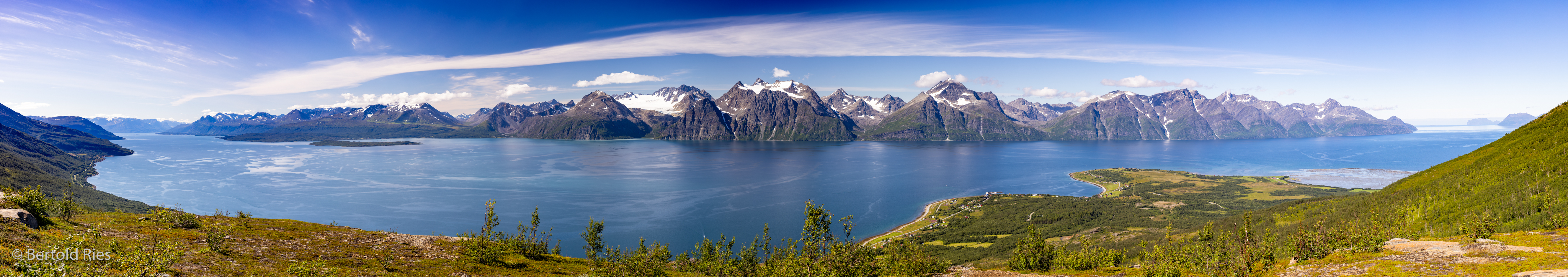
The spectacular view is from Dalberget looking across the Lyngenfjord. The hike starts in Djupvik and reaches after a bit more than one hour 420 m height. The below 180 degree panoramic photo is composed from 13 portrait shots with full format focal lenght of 52 mm.
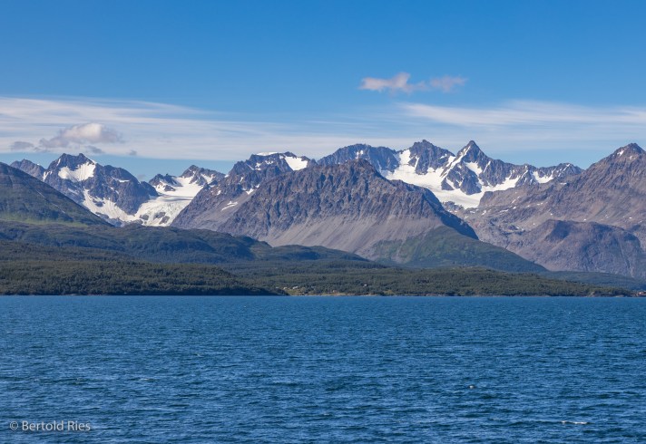
Below the view from the ferry from Olderdalen to Lyngseidet. Without the Fjord, this picutre could have been taken in the Swiss Alps too …
The below picture is across the Ullstfjord towards the area with the highest mountains of the Lyngenalps.

This time not a Fjord but a lake, the Jægervatnet with the west side of Lyngenalps in the background and the purple rosebay willowherbs that grow literally everywhere in the front.
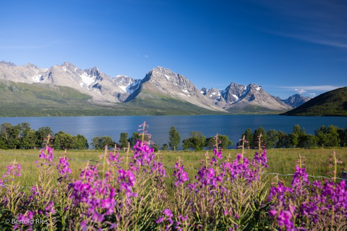
Jægervatnet (Hunterlake), Lyngenalpen, Norwegen
What can’t be missing in any sort of “alps” of course is a glacier lake! Voilà:

Blåisvatnet (Blue Lake) is located at the foot of the Lenangsbreen glacier. When I reached the lake after a really rocky 1.5h hike on a late afternoon I was a bit surprised that it was more turquoise than blue (as in many pictures from this lake). Maybe this was due to the heavy rain that occured over the previous days.
The Lyngenalps are an impressive piece of structrues & shapes that nature created in the Norwegian Sea and were for sure worth the trip north of the arctic circle.
